Guide to Desolation Sound
Everything you need to know to plan your kayak and camp trip to Desolation Sound in the Sunshine Coast. Suitable for intermediate to advanced paddlers.


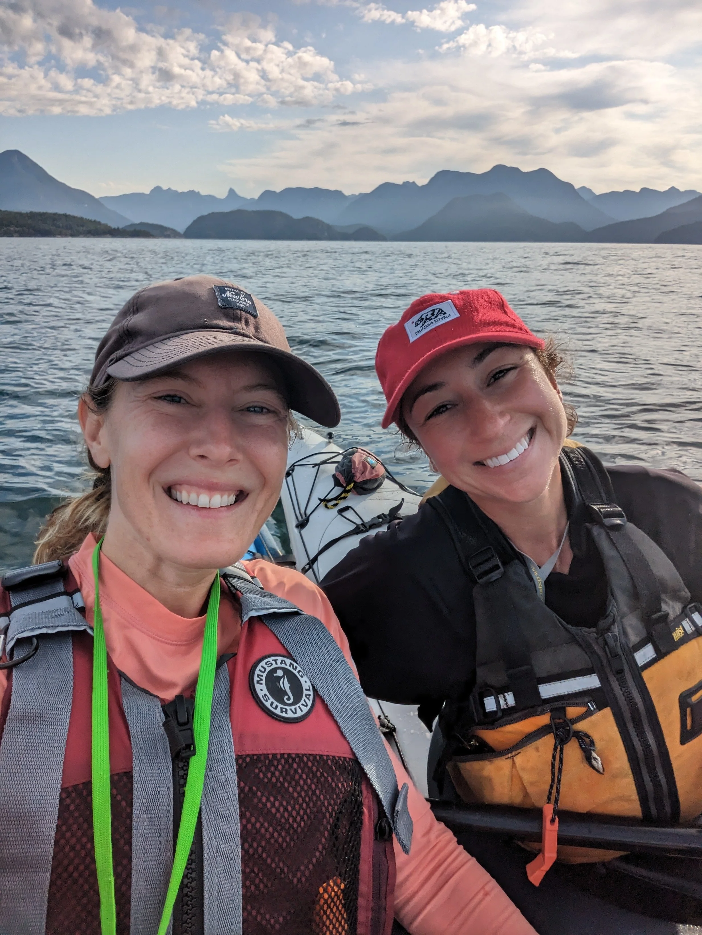
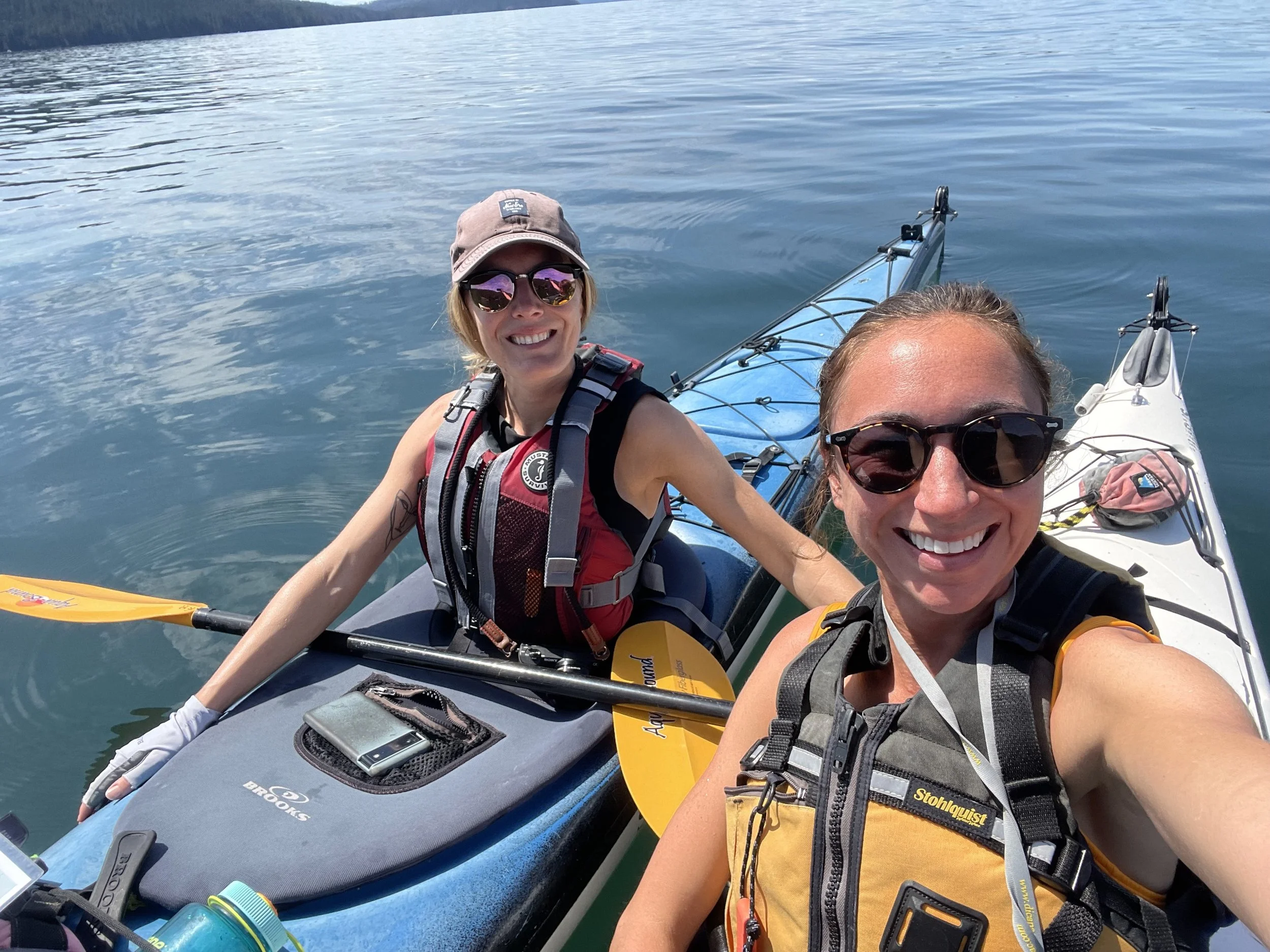
Desolation Sound is a kayaking paradise with tropical vibes. Desolation Sound has some of the warmest water on the Pacific coast north of Mexico with water temperatures reaching 21-24 Celsius in the summer. The only challenge is getting there - taking multiple ferries and driving, but it’s worth it. You’ll want three or four nights kayaking but will need to add additional days for travel time.
Reservations/Permits
Backcountry registration is required, available through BC Parks. Select “backcountry” then “backcountry registration” to find Desolation Sound Marine. This registration acts as payment but does not guarantee a reservation for specific tent pads or campsites, which are all first-come, first-served.
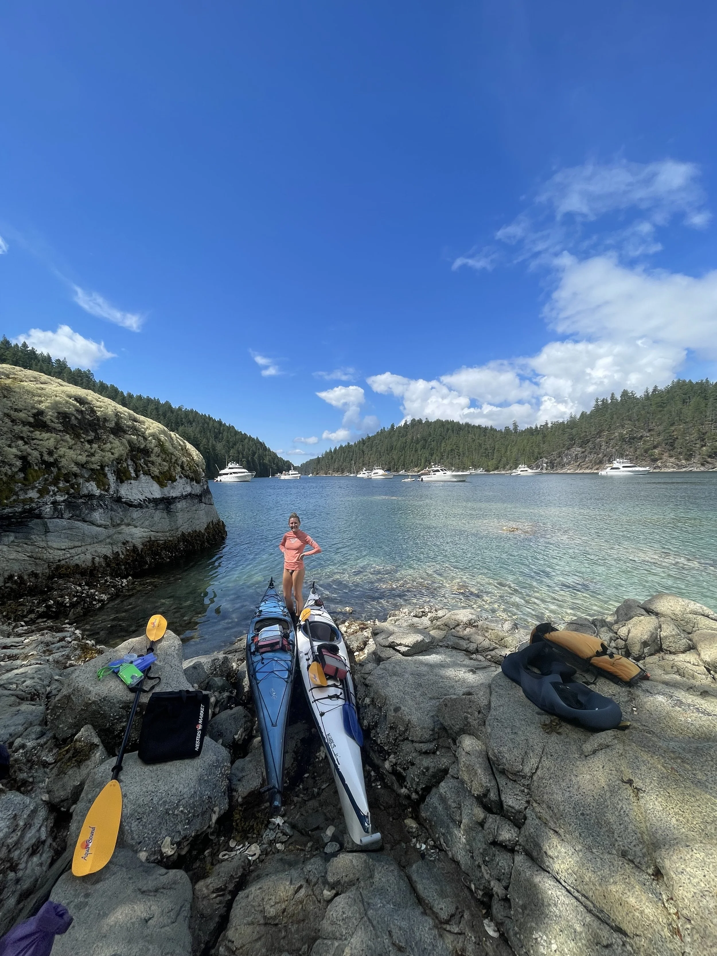
Launch Site
There are two main launch sites for Desolation Sound, either from Lund or Okeover Arm. Starting from Okeover Arm is quieter from boat traffic and more sheltered from winds, and there are several campsites toward the North end if you get a late start like Hare Point or Feather Cove.


Route and Campsites
The most popular campsites are the Curme Islands off of Mink Island. As they are so popular, be ready (and have the energy) to kayak to a “plan b” location. Most of the campsites in Desolation feature wood tent pads with a view, and all have pit toilets. It seems like the sites closer to “land” like Hare Point, Feather Cove have bear caches.
Your route will really depend on your launch site - from Okeover it is possible to kayak to Curme Islands in one day, assuming you start in the morning and have a full day. While Desolation looks tropical, it can still face big weather. We actually had to cut an entire day from our trip as we waited out the weather with gale force winds and insane rain.
Highlights to explore are Prideaux Haven, and Unwin Lake for a lake swim and to fill water bladders. There is also Refuge Dockside Kitchen in Refuge Cove if you’re craving a hot meal and cold beer. They also have a floating sauna which is new since my last trip there and now definitely on my bucket list.


Recommendation
Day 1 - ferry from Vancouver to Gibsons (Langdale), drive to Earls Cove to catch the ferry to Powell River. Note that you cannot reserve this route! On our trip we had to wait at least one sailing so you’ll really want one day just for travel to account for these delays. Check into an Airbnb in Powell River, ideally not far from your launch site and spend the rest of the day packing your drybags and preparing for the trip. You can pick up nautical maps/charts from Terracentric Adventures in Lund.
Day 2 - hit the water early, on our trip we left from Okeover and paddled to Hare Point for lunch and coffee before continuing on to Curme Islands.
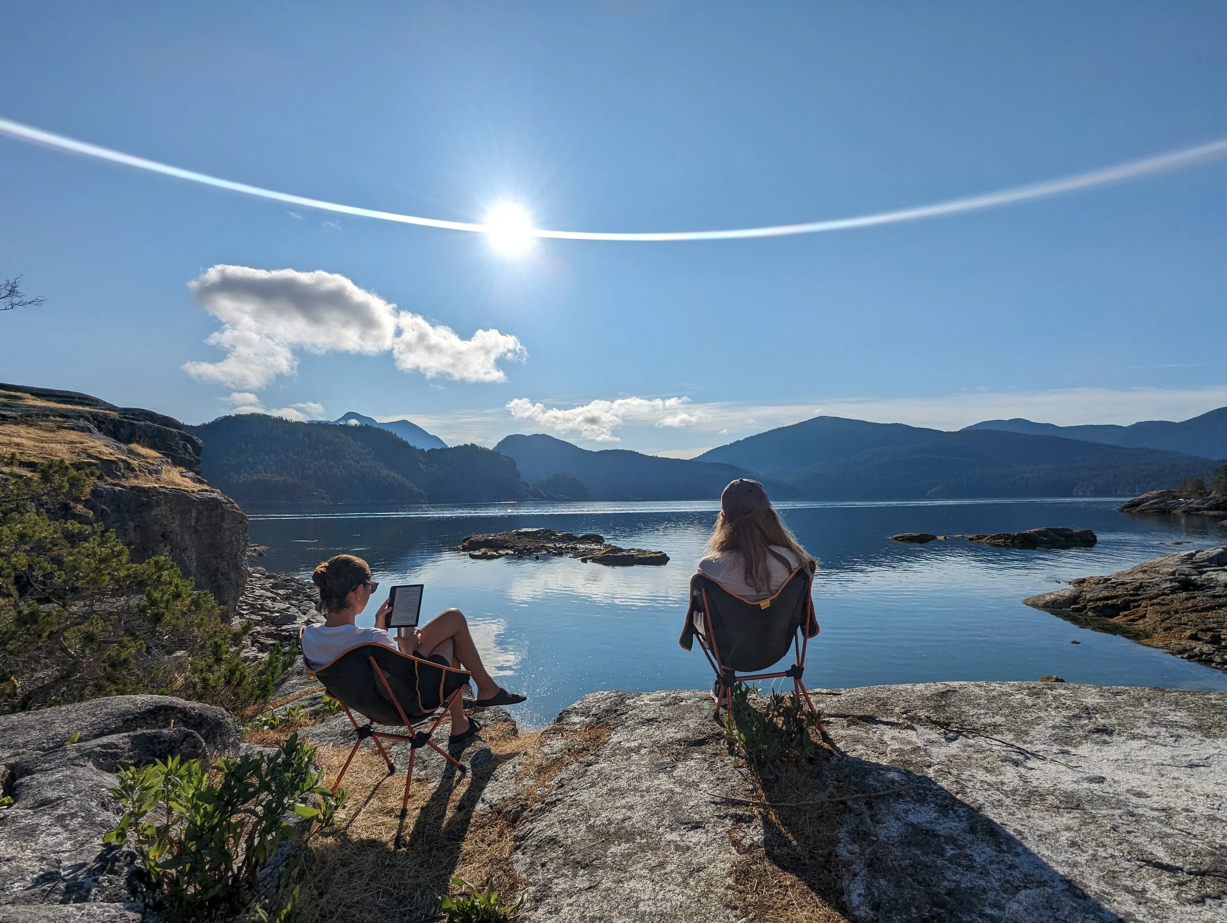
Day 3-4 - I’m a big fan of having a “base camp” so that you aren’t constantly unpacking, setting up camp, repacking, and loading the kayaks. We spent a day kayaking Prideaux Haven, and the next day near Unwin Lake.
Day 5 - paddle back to your launch point and check into an Airbnb. I like to spend the full day on the water and crash again in Powell River. This is a long day if you’re paddling back from further in Desolation Sound, you could always break camp and paddle to a site closer to launch point for your last night. Pro tip: find accommodations with a hot tub - you’ll want it after all that kayaking.
Day 6 - travel back from Powell River to Sunshine Coast, Sunshine Coast to Vancouver.


More Information
There is no reliable cell service in Desolation Sound - I didn’t have service anywhere so bring a VHF radio. There is supposedly some service at Sarah’s Point but this is far if your home base is the Curme Islands.
There is no potable water and limited fresh water sources - plan your route accordingly to your water levels. We took water from the lake at Unwin Lake but there is also Black Lake in the Roscoe Bay Marine Park and a freshwater creek at the Grace Harbour campsite.
Campfires are not permitted anywhere in the park.
Windy is your best bet for wind forecasts in this area but only pre-trip given the lack of service, you can monitor weather forecasts on VHF Channel 21 B for the Strait of Georgia - north of Nanaimo. However, the reported weather will be less severe in this area.
This is a trip for intermediate to advanced paddlers, your group must be able to:
plot a course by chart and compass;
pilot your vessel(s) safely in fog;
read weather patterns and signs, obtain and interpret up-to-date marine weather forecast;
assess water hazards that vary with tide, sea state and weather;
interpret tide tables;
competently handle your boat if caught in adverse conditions;
perform a group rescue and self-rescue;
camp in prolonged windy and rainy conditions;
call for help; and
administer first aid.
That being said, it is less intimidating than say Broken Group Islands just because there are so many boaters that could support and aide you in an emergency (assuming you had a VHF radio), and the water temperature being so warm.
If this trip sounds like a dream but is maybe not yet in your skillset, or if you just want more a vacation-style adventure, may I introduce you to Cabana Desolation?! This is a bougie all-inclusive wilderness resort - I haven’t been myself but friends have gone and really enjoyed it. They also have excellent snorkelling around their island, and you can of course explore with their kayaks.